


Cheltenham And Cirencester Area - Landranger 163
Publisher: Ordnance Survey
Format: Paperback
ISBN: 0319221636
Cheltenham and Cirencester Area – Landranger 163 (1996) – Ordnance Survey
Ordnance Survey | Landranger Series | ISBN: 0319221636
Condition: Good | Sold by Crappy Old Books
Cheltenham and Cirencester. Two splendid Gloucestershire towns surrounded by rolling hills, picturesque villages, ancient roads and the sort of honey-coloured stone buildings that make the average estate agent reach instinctively for adjectives such as charming, desirable and investment opportunity. Here, the Cotswolds stretch across the landscape in a magnificent procession of green valleys, historic settlements and country lanes apparently constructed before anybody anticipated the invention of motor vehicles wider than a horse.
Welcome to Cheltenham and Cirencester Area – Landranger 163, a 1996 Ordnance Survey map from the glorious age when finding your way through the English countryside required a proper paper map, a reasonably functioning compass and the ability to persuade your travelling companions that becoming hopelessly lost was all part of the adventure.
Published at the practical 1:50,000 scale, equivalent to two centimetres representing one kilometre on the ground, this Landranger map provides a detailed geographical portrait of the region, recording roads, railways, settlements, waterways, woodland and the countless contours that distinguish a pleasant afternoon stroll from an unexpected mountaineering expedition.
Cheltenham, famous for its Regency architecture, elegant terraces and horse-racing festival, offers a wonderfully civilised starting point. It is the sort of town where one can admire distinguished buildings, discuss cultural matters and spend an alarming amount of money on lunch without ever leaving the appropriately respectable surroundings.
Cirencester, meanwhile, brings an even older pedigree, having been an important Roman settlement known as Corinium. Its history stretches back to a period when Britain was administered by people who built excellent roads, constructed impressive public buildings and occasionally wondered why the inhabitants insisted upon complaining about foreign interference.
Between and around these towns lies the magnificent Cotswold countryside, a landscape of limestone villages, ancient churches, wooded valleys and agricultural land that has inspired generations of walkers, artists and wealthy individuals seeking somewhere picturesque to purchase a second home.
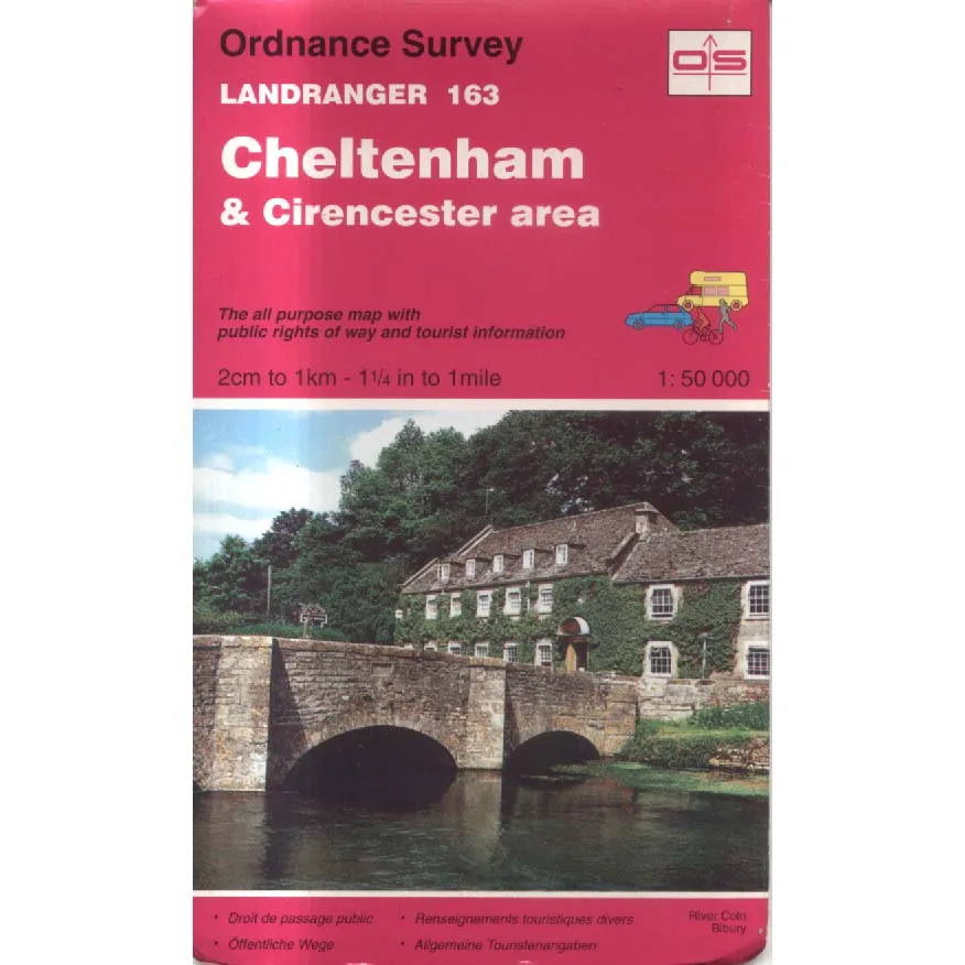
The cover photograph features the River Coln at Bibury, one of Gloucestershire’s most attractive villages, where the combination of flowing water, historic stone buildings and rural tranquillity seems almost suspiciously picturesque.
Published in 1996, this map also offers an intriguing historical snapshot of the region before three decades of subsequent development. Roads, settlements and local features have changed, making older Ordnance Survey editions fascinating objects for collectors and local historians.
The familiar red Landranger cover proudly promises public rights of way and tourist information, essential provisions for anyone intending to venture into the countryside without accidentally trespassing across somebody’s meticulously maintained estate.
This 1996 Ordnance Survey Landranger Sheet 163, offered in Good condition by Crappy Old Books, is an appealing acquisition for walkers, vintage map enthusiasts, Gloucestershire historians and anyone with an affection for the Cotswolds.
A charming piece of British cartographic history, preserving the landscape of Cheltenham, Cirencester and the surrounding countryside as it was mapped during the 1990s.
And unlike modern satellite navigation, this map will never lose its signal, require an update or direct you into a field because the software has mistaken a bridleway for a motorway.
It will simply leave you to make your own mistakes.
Which, after all, is half the pleasure of exploring the countryside.
Keep browsing: See more Maps books Other books by Ordnance Survey
